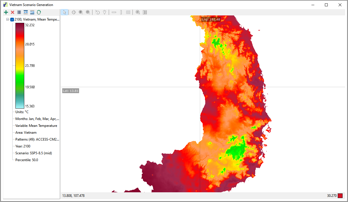
FunctionsWorking with MapsLayers Raster Layers Raster layers display spatial data in a graphical form. These layers can be created using the Spatial Scenario Generator or can be loaded from a file, such as an Esri Grid Ascii file. Example map of Vietnam using the Gradient display option.